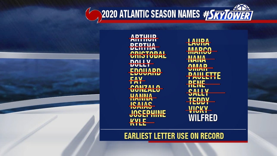
Tropical disturbance in western Gulf likely to become 'W' storm, last name on Atlantic hurricane list
Today’s tropical weather forecast
Chief meteorologist Paul Dellegatto expects we'll see 'Wilfred' in the Gulf soon.
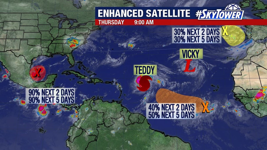
TAMPA, Fla. - Rain chances will increase for parts of the Gulf Coast next week, and the reason for that is a tropical disturbance that has a high chance of becoming a named storm. If so, it will be called, "Wilfred," and it will be the final name on this year's list Atlantic hurricane names.
After that, the National Hurricane Center will begin using the Greek alphabet to name storms.
As of Thursday evening, the tropical disturbance has a 90% chance of developing within the next 48 hours. The National Hurricane Center reports it could become a tropical depression or tropical storm later in the day or tomorrow.
RELATED: What happens if we run out of hurricane names?
FOX 13's meteorologist Dave Osterberg said Hurricane Hunters will begin paying more attention to this new system, with Sally moving off.
"As these experts are saying, we're only a week past the climatological peak of the hurricane season. There's a lot left," he said, "and there could be a storm in the Gulf by the end of the week or the end of this weekend."
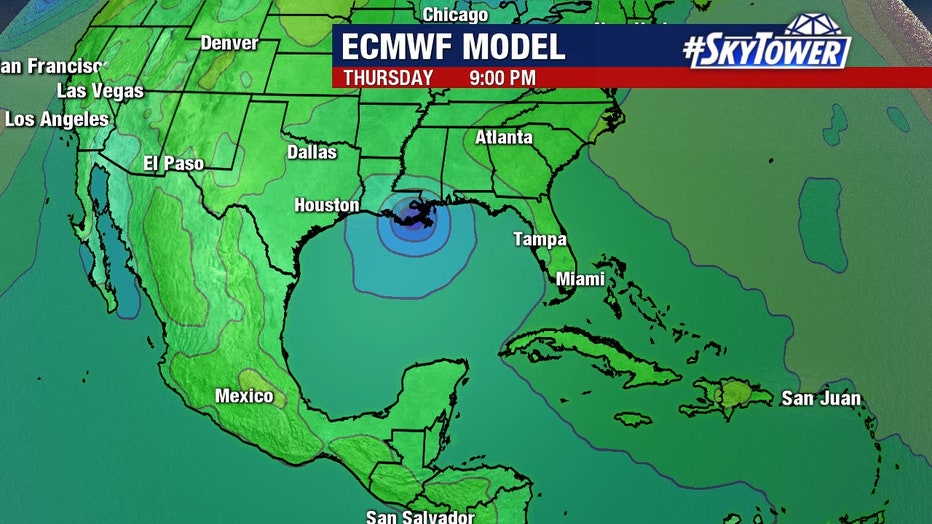
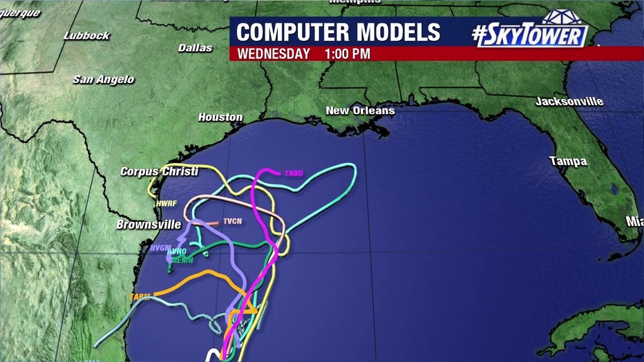
The storm will eventually start to slide north, and then, possibly east right along the northern Gulf coast. That projected path will bring rain late next week, Osterberg explained.
LINK: Track the tropics on MyFoxHurricane.com
The history behind hurricane name selection
Many viewers have asked how hurricane and tropical storm names are chosen. To answer that, you'll have to go back in history.
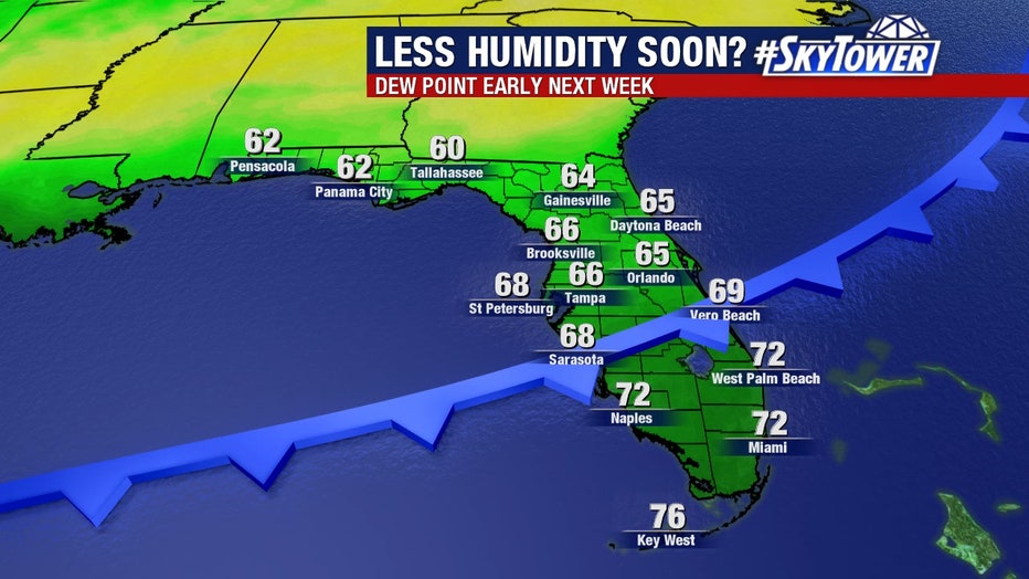
But before that, some drier air will move in early next week.
"It's still going to be in the upper 80s, folks. It's just not going to be as oppressive," Osterberg said. "I know early next week we're getting hyped up because we're getting some drier air in place by Monday into Tuesday but there could be a tropical storm."
He said everybody from Texas to Florida should keep an eye on it.
Earlier this week, at least five tropical cyclones were swirling in the Atlantic at the same time, which only happened once before. The last time this happened was back in 1971.
