

USF launches new app designed to help community during future storms
TAMPA, Fla. - When a major flooding event happens, a newly launched University of South Florida app will use data from photos and videos posted by neighbors to gauge hazards and impact in the community.
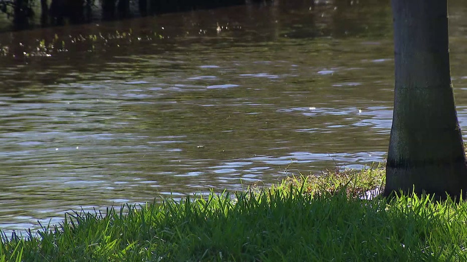
The web-based crowdsourcing app CRIS-HAZARD went live a week before Hurricane Helene hit, and people started uploading what they saw. A team of USF scientists are using the provided photos and videos to collect data on flooding, and they are cross-checking them with cameras they install around Pinellas County.
USF’s Barnali Dixon, a geosciences professor and executive director for the Initiative on Coastal Adaptation and Resilience (iCAR), heads up the project.
READ: Bay Area officials warning residents to get permits before making home repairs
A wooden box strapped to a tree contains the camera that is battery-powered by a solar panel for Dixon and her team.
"This is for taking images of a gauge. So when flooding occurs, we can sort of measure the flood height and plug that into the model," Alex Colarusso, a USF research assistant and doctoral student, said of the camera boxes.
Dixon said anyone can find the web-based application by going to www.stormsquad.org and clicking on the tab to upload flood photos.
"Once they tell us what’s going on in their backyard through uploading their pictures via app, we then can use AI to extract the relative height of the water," said Dixon.
MORE: Pasco Hope community begins taking in displaced residents weeks after Hurricane Milton
Dixon’s team first developed the app in 2023, and the crowdsourcing resource went live on September 18, a week before Hurricane Helene, allowing a small number of people to use it.
"Like Denver Park, Bartlett Park where we also have cameras at, we saw like two to three feet of flooding there as well," said Colarusso.
As Dixon and her team analyze data coming in from those cameras and neighbor’s photos, they said the information is essential to emergency responders and emergency managers.
"So those will be very helpful to them, because they said ‘okay I got a call from address xyz, okay let’s look at the pictures, what is the water level there,’ and then they can actually plan accordingly," said Dixon.
Areas that don’t normally flood will also get recorded.
READ: 'We took some hits:' Despite damage, some Sarasota County Beach parks set to reopen Saturday
"Today, actually, when we were installing at Cooper’s Bayou, a lady came and asked all about it and was very interested. They tell us the story because they know what’s going on in their neighborhood, right?" said Dixon. "She told me every time there’s a storm, the water goes up to there. That ‘there,’ that information itself does not get recorded to become scientific data. Now that we have the camera that becomes the scientific data points."
That can help guide climate planning too.
"Those models will be refined actually through this project, and then those data can be used by the policymakers to make a better decision," said Dixon.
The USF team said their challenge now is getting the word out, so more people will use the resource and help out responders and themselves. There will be a townhall to talk about the app and other storm response needs on Saturday, October 26 at Child’s Park Recreation Center from 10 a.m. to 1 p.m.
WATCH FOX 13 NEWS:
STAY CONNECTED WITH FOX 13 TAMPA:
- Download the FOX Local app for your smart TV
- Download the FOX 13 News app for breaking news alerts, latest headlines
- Download the SkyTower Radar app
- Sign up for FOX 13’s daily newsletter