What is an invest during hurricane season?
MIAMI, Fla. - Florida received much-needed rain this week thanks to Invest 90L, which dumped nearly four inches of rain on parts of Sarasota in one hour on Tuesday, but what exactly does that mean?
The term "invest" is used every hurricane season in the Atlantic and the Eastern and Central Pacific basins, accompanied by a number from 90 to 99 and either the suffix "L," "E" or "C," respectively.
We know this sounds confusing, but we’re here to break down what an invest means for you.
READ: National Hurricane Center keeping close eye on new tropical disturbance in Gulf of Mexico
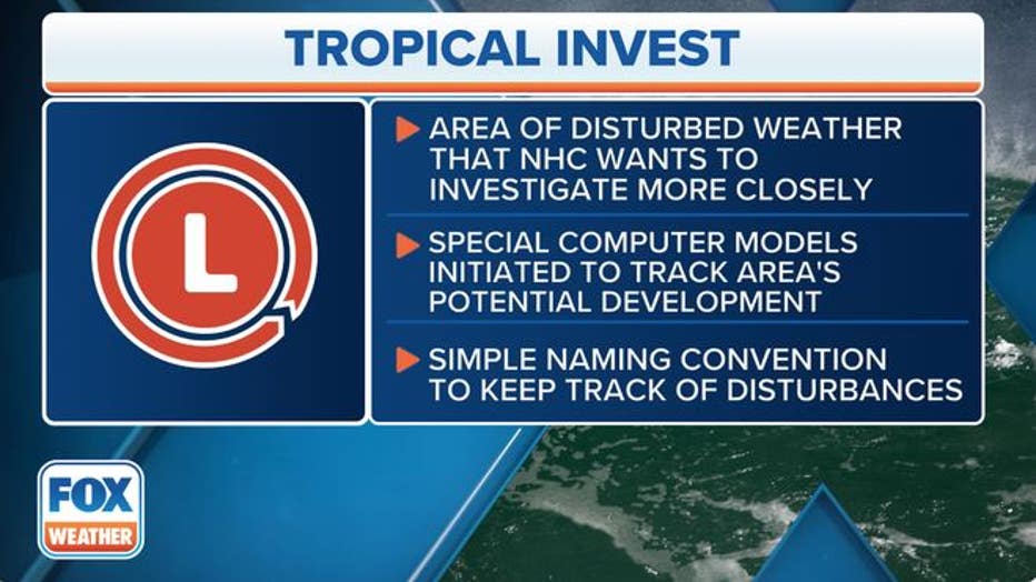
The meaning of invest is simply a naming convention used by the National Hurricane Center (NHC) in Miami, the Central Pacific Hurricane Center (CPHC) in Honolulu, Hawaii, and the U.S. Joint Typhoon Warning Center (JTWC) in Pearl Harbor, Hawaii, to identify areas they are investigating for possible development into a tropical depression or tropical storm within the next seven days.

An invest is simply a designation that is given to an area of interest by the National Hurricane Center for further investigation with a simple naming convention. (FOX Weather)
In the Atlantic, these systems and models are tagged as Invest 90L, Invest 91L, all the way up to Invest 99L, and then it starts back at 90L and repeats. The only difference in the Eastern Pacific is that they are labeled with an "E" instead of an "L," so Invest 90E, Invest 91E and so on. Similarly, in the Central Pacific, they are Invest 90C, Invest 91C, up through Invest 99C and then back to 90C.
READ: National Hurricane Center keeping close eye on new tropical disturbance in Gulf of Mexico
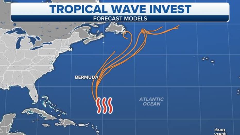
The NHC, CPHC and JTWC use this naming convention because once a system is dubbed a invest, a collection of specialized datasets and computer forecast model guidance can begin on that area of disturbed weather. These computer models simulate the system’s projected track possibilities and predict its future intensity.

NOT A CURRENT FORECAST – An example of computer forecast model guidance run on an invest in the central Atlantic Ocean. (FOX Weather)
You might be wondering why the designation of invests only utilizes the numbers from 90 to 99.
According to Dennis Feltgen, former communications and public affairs officer at the NHC, the numbers from 1 to 49 are used for tropical and subtropical depressions, 50 to 79 are reserved for other tropical cyclone forecast centers around the world, and 80 to 89 are applied only for testing or training purposes.
Additionally, you may find it odd that Atlantic invests don’t use the suffix "A." This is because the Atlantic drew the short straw.
READ: Hurricane season 2024 could be among most active on record, experts predict
Per NOAA’s National Hurricane Operations Plan, the JTWC has that suffix reserved for the other "A" ocean basin: the Arabian Sea in the northern Indian Ocean.
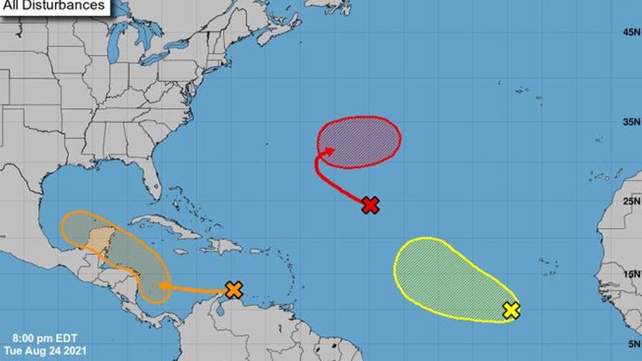
Four times daily at 2 a.m./p.m. and 8 a.m./p.m. EDT, the NHC produces a seven-day Tropical Weather Outlook showing potential areas of future tropical development in the Atlantic and Eastern Pacific. Not all of these areas are tagged as invest storms, however.
In fact, just because a system is deemed an invest doesn’t necessarily mean it is likely to develop into a tropical depression or tropical storm. It’s just the NHC’s way of obtaining more information on areas it is watching in the Atlantic and Eastern Pacific.

NOT A CURRENT FORECAST – An example of the National Hurricane Center's seven-day Tropical Weather Outlook. (NOAA/NHC)
"Particularly near the beginning of the (hurricane) season, it’s not uncommon for NHC to create one or more invests solely to test data flow or model processing scripts," Feltgen said. "The Tropical Weather Outlook should always be consulted to determine the significance or potential threat of an invest disturbance."
SIGN UP: Click here to sign up for the FOX 13 daily newsletter

