Aerial photographer documents Tampa's history
The photograph from the early 1980’s shows an aerial view of Downtown Tampa. In the foreground is a large patch of dirt that is now Harbour Island. This is one of many spots an aerial photographer has documented, showing the city's topographical history.
Top Videos

Aerial photographer documents Tampa's history

Tampa Bay area's most expensive home hits market

FDLE announces arrests in international child porn case

State Attorney's Office unveils online victim toolkit

Resilient SRQ helping those impacted by Hurricane Ian
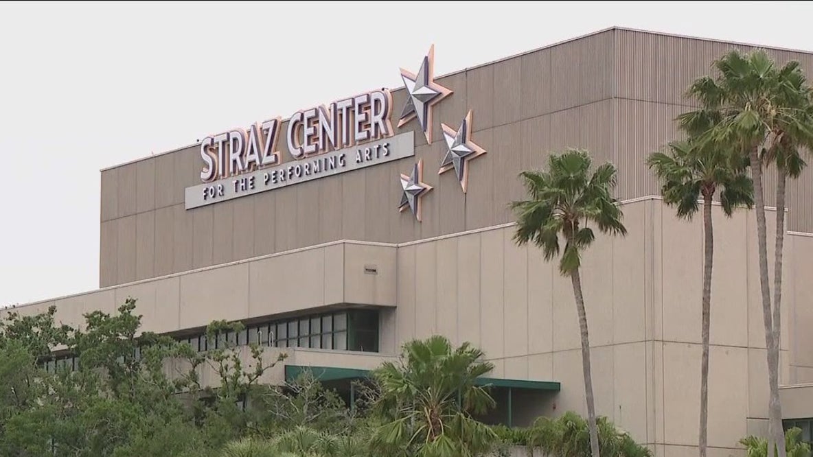
Straz Center expansion on Tampa Riverwalk
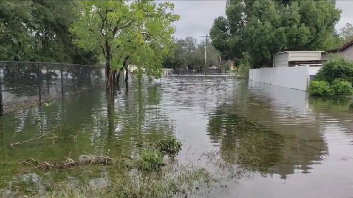
Tampa's plans to prevent flooding

Sugar Sand Festival on Clearwater Beach begins Friday
Good Day Tampa Bay

Good Day Goodies: April 11, 2025

Food & Wine Festival at Busch Gardens

Planting herbs in your garden
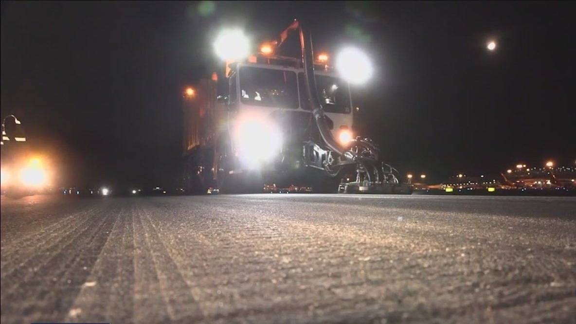
Tampa Bay 24/7: Tampa International Airport, Part 2
We Live Here

Bradenton cafe brings fresh and healthy options

Bird's-eye view of LECOM Park

House of Vegano brings sushi with vegan twist to St. Pete