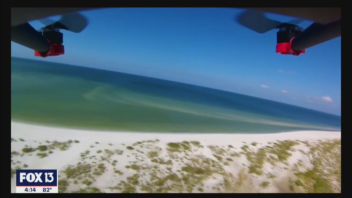
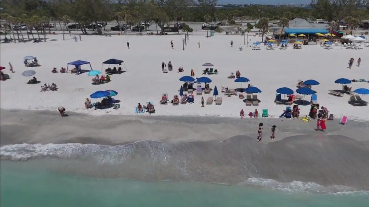
Using drones to map sea level rise
The Tampa Bay Estuary Program is using new technology to map the horizon of rising seas around Tampa Bay.
Top Videos
Using drones to map sea level rise

Pope Leo XIV becomes first American Pontiff
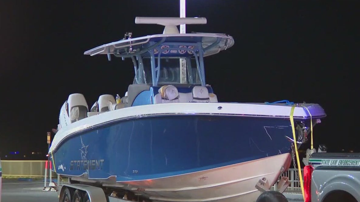
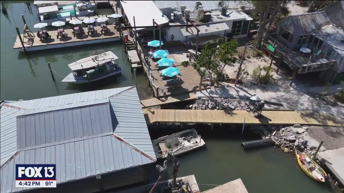
Lawsuit filed in deadly ferry crash as service resumes

WWII veteran receives France's highest honor

Softball coach accused of exchanging nude pics with teen

FBI warns of criminal network targeting kids online

New school coming to Tampa will be driven by artificial intelligence

Mother, son getting degrees from USF
Good Day Tampa Bay

Friday fishing report: May 9, 2025

Good Day Goodies: May 9, 2025

15th annual ‘Value Me’ fundraiser set for Friday
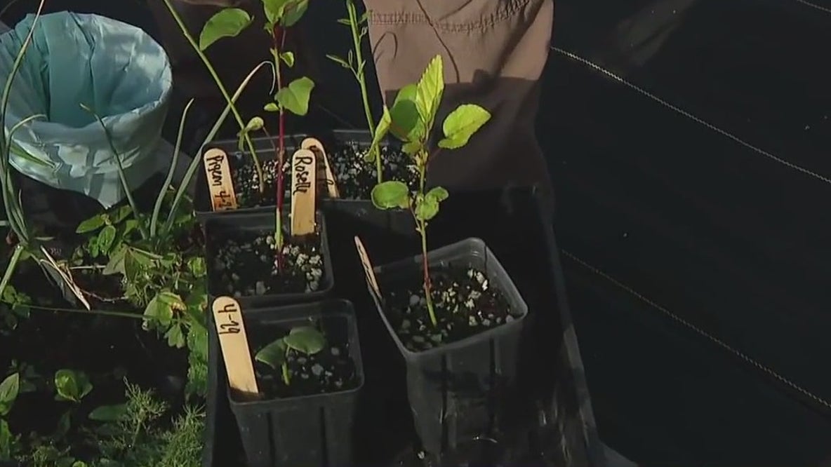
‘Three sisters planting’ method
We Live Here

Air Force veteran shares artistic talent through personalized plaques and signs
Coquina Beach still beautiful despite hurricanes

Tampa business making healthy, organic dog treats to support local rescues