Chances of development increase for area in western Caribbean, Gulf of Mexico

Tampa weather: Sunday evening forecast
FOX 13 News Meteorologist Nash Rhodes says it will be dry overnight.
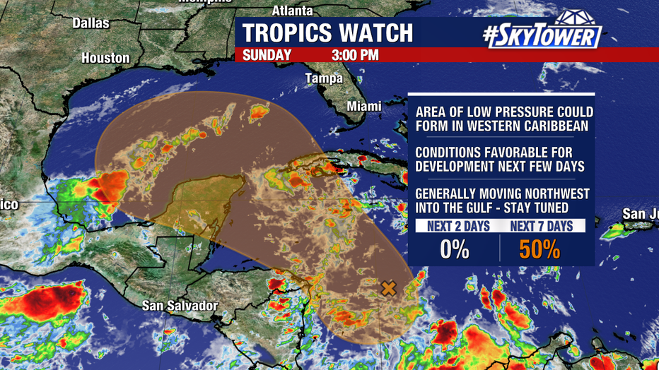
TAMPA, Fla. - Odds are slowly increasing for an area to develop in the western Caribbean/Gulf.
This could become a named storm with gradual strengthening expected. Development chances are up to 50% over the next seven days.
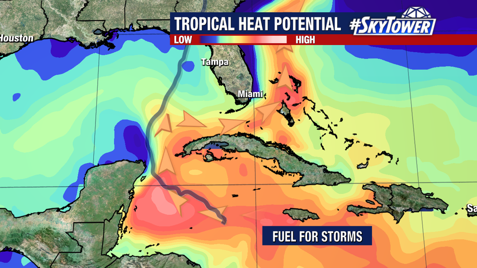
The area to watch will be moving over deep warm waters, which will offer plenty of fuel to tap into. The blue line shows the track of Hurricane Helene, which strengthened as it moved right over this area of high heat potential.
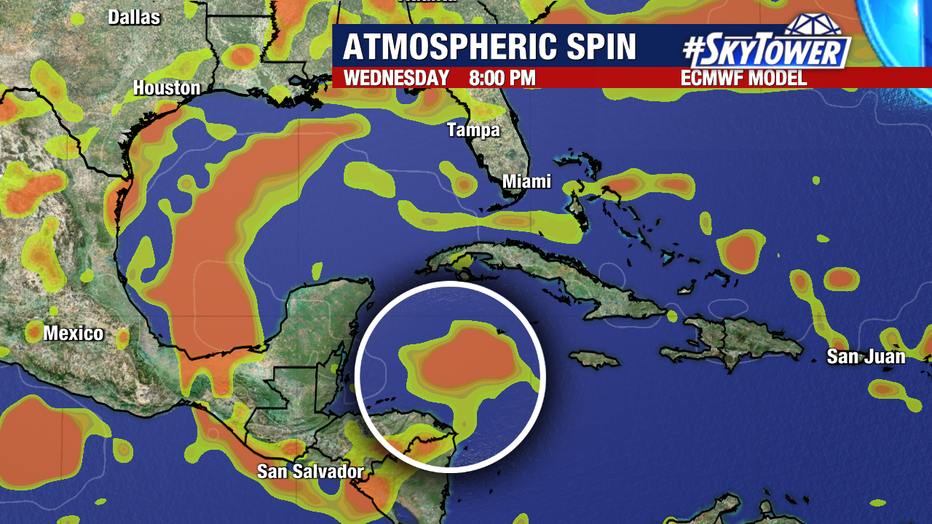
It’s too soon to talk details on strength or track. By the middle of this week, we’ll have a better idea. Many models are indicating that something will form in the western Caribbean before traveling into the Gulf of Mexico.
It looks like a front late next week will be part of the steering flow that would guide this area. But there is a lot up in the air. For now, we’re watching it and will keep you updated.
The Atlantic remains active to start October. The good news is that both Tropical Storm Isaac and Tropical Storm Joyce will be no impact to land.
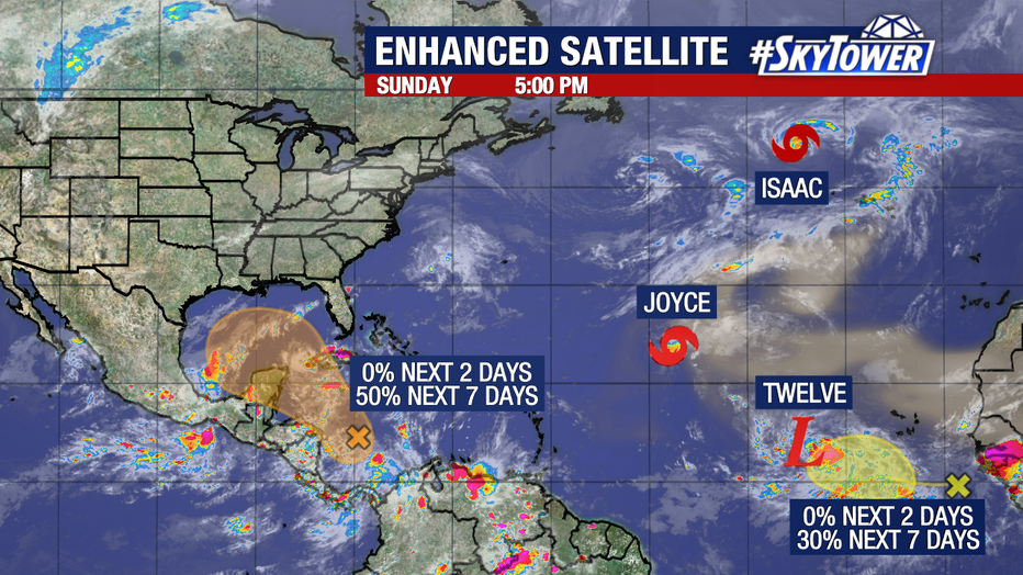
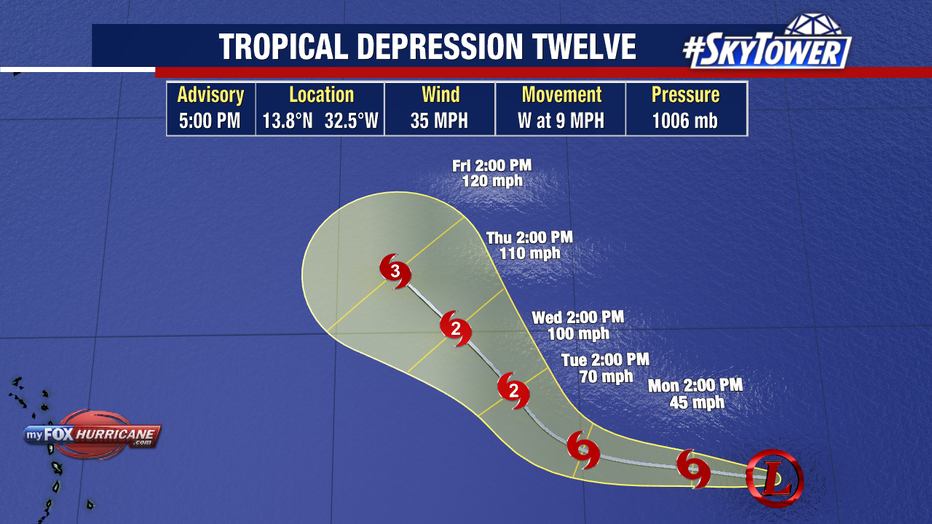
Tropical Depression Twelve formed on Sunday in the eastern tropical Atlantic. It could become a formidable hurricane later this week, according to the National Hurricane Center.
