

NHC monitoring 3 disturbances in Atlantic, 2 have medium chance of development

3 tropical waves being monitored in Atlantic
FOX 13 News Meteorologist Valerie Mills says two of the waves have a 40% chance of development over the next seven days. One wave near Texas only has a 10% chance of development over the next week, according to Mills.
TAMPA, Fla. - The National Hurricane Center is monitoring three areas in the Atlantic for development chances.
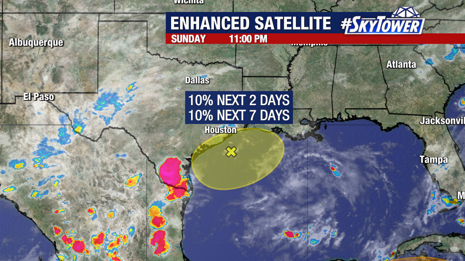
A broad area of low pressure just off the coast of Texas has a meager chance of developing into a named storm over the next seven days.
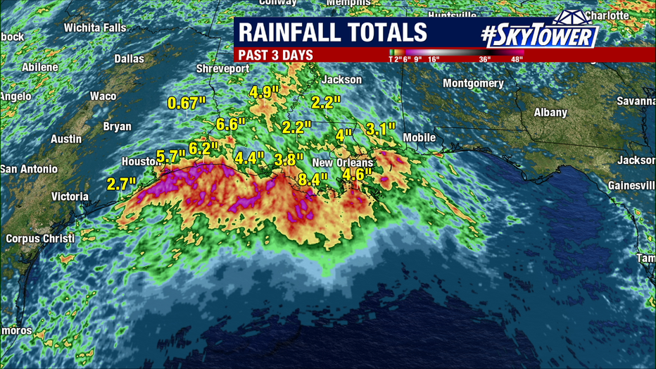
Regardless, it has brought heavy rainfall to the coasts of Texas, Louisiana, and Mississippi over the past few days. Even more rain is on the way for the region this week.
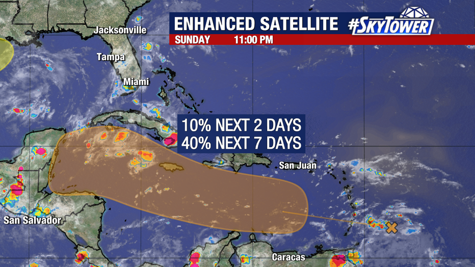
Near the Lesser Antilles, an area of disturbed weather will enter the Eastern Caribbean on Tuesday. As it moves into the central and western Caribbean Sea, it will enter a more favorable environment for development.
Weather models have been divided on the odds of formation for this disturbance over the past few days. If it were to form in the Caribbean, the progress of this system would need to be carefully monitored by Cuba, Central America, and the Gulf Coast. The National Hurricane Center is giving this disturbance a medium (40%) chance of forming within the next seven days.
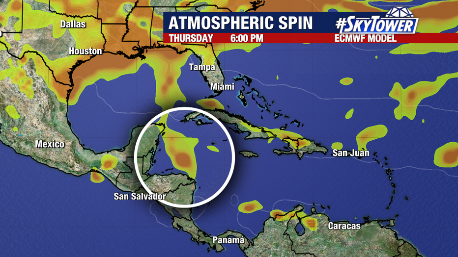
An additional area to watch was recently added the Eastern Tropical Atlantic. A tropical wave will soon be leaving the coast of Africa and entering into an environment (shown in yellow) that is more conducive to development. It now has a medium (40%) chance of formation over the next week.

The next name on our storm naming list is Francine.
STAY CONNECTED WITH FOX 13 TAMPA:
- Download the FOX Local app for your smart TV
- Download the FOX 13 News app for breaking news alerts, latest headlines
- Download the SkyTower Radar app
- Sign up for FOX 13’s daily newsletter